Stage 55.3PageExperience
Taking the Map Further
Depending on the map reception you receive and the unique qualities of your city, you may want to take the map further. At minimum, you will want to update the map every 1-2 years. At GUB, our work plan includes a map update and review each year.
| We took the map further in several ways. First, we designed a Teen-Friendly City Map shortly after the Child-Friendly City Map. Six months later, we produced digital versions of each and put them up on our website. We are discovering that the map can also inspire groups of children to create their own maps. In spring 2023, we consulted with a local first grade class to support their vision for mapping their school's playground (see photo). The outcome was that the map found a meaningful place in their school's brochure. Finally, as part of Boulder becoming a Child-Friendly City Initiative, the City of Boulder is looking at each neighborhood on our 5th edition map and determining how far and how many CFC locations there are to each. Mapping the walkability (10 minute and 15 minute walks) from neighborhoods to child-friendly locations, thus, becomes an exercise in how equitable neighborhoods are or aren't--important information that the City of Boulder can use to inform future planning projects. | 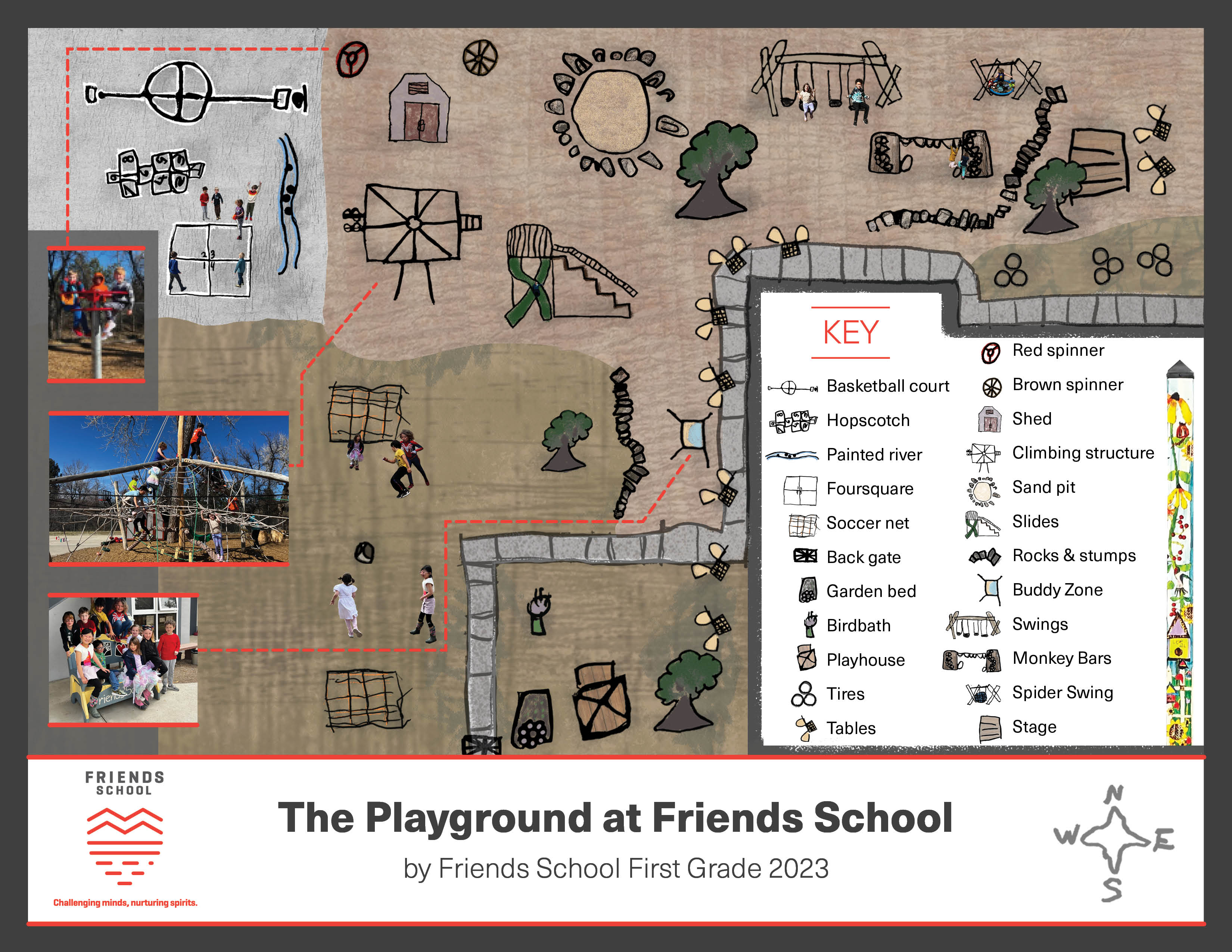 |
 Additional Recommendations
- Annual update and review of the map–build in youth engagements to get youth perspectives
- Transferring map data for continued editing–be sure to keep well organized files
- Anticipating changes in map designers–be sure that your process is easily transferrable to a new designer should your first designer move on. Working with a variety of designers over time provides the new designer with the opportunity to develop skills and be a part of a positive project.
- Online map versions; GUB has both child-friendly city and teen-friendly digital maps
- Map-based events–pair the map with other city department events, such as offering family-friendly walks for Walk and Bike month using the maps
- Geocaching--paired with the map.
- Send (or present your) CFC Map/s to the City Council and the City Manager’s Office. Describe the participatory planning process you undertook. Share what you learned about what Child-Friendly Cities, what young people are interested in and showcase your city’s assets and barriers.
- Fundraise for the next map and build the map’s sponsor base
The best ideas for taking the map further will come from you and the youth and families within your city. The sky is the limit–have fun!